Plan it. Run it. Watch it. Keep it.
From the kitchen table to the helm and back, MarineOS carries everything with you.
Plan the passage from your couch.
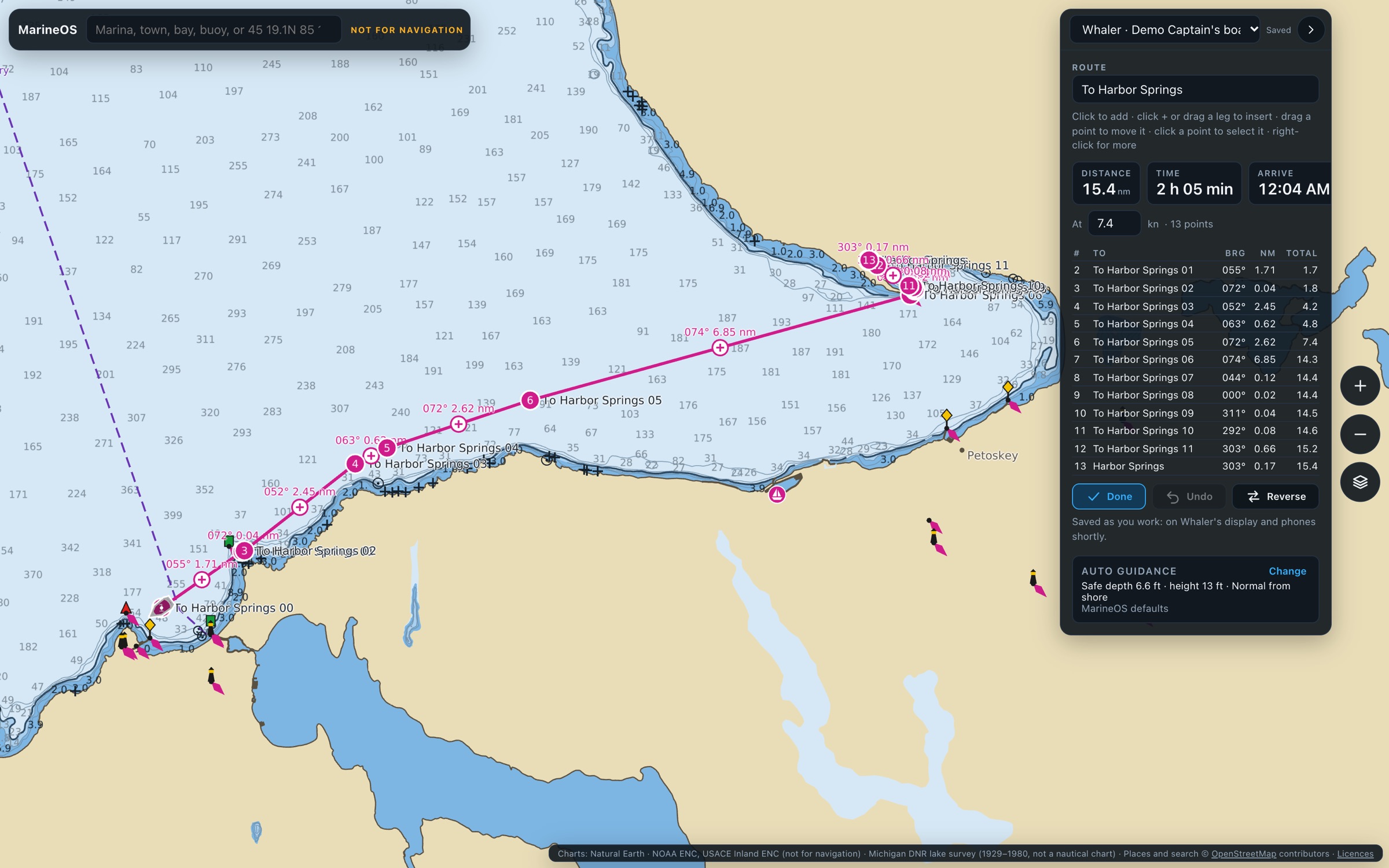
Open MarineOS Cloud in any browser. Click the chart for each mark, or let Auto Guidance find the way: it plans around land, shallows and low bridges using your boat's own draft and clearance, and gives you distance, time and arrival for every leg.
- Auto Guidance with your boat's settings
- Drag points, insert legs, undo
- Routes and waypoints saved as you work
It's already at the helm.
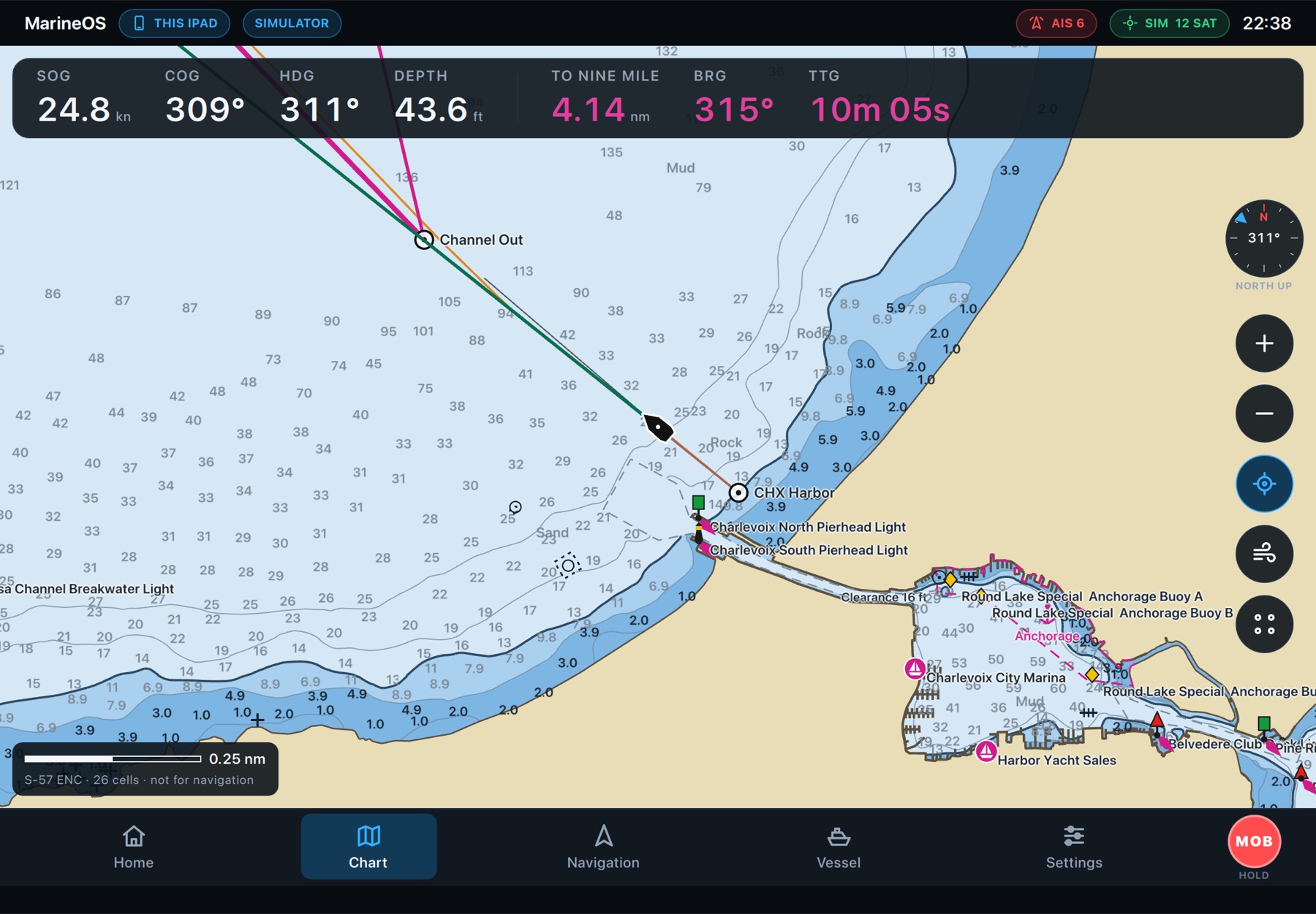
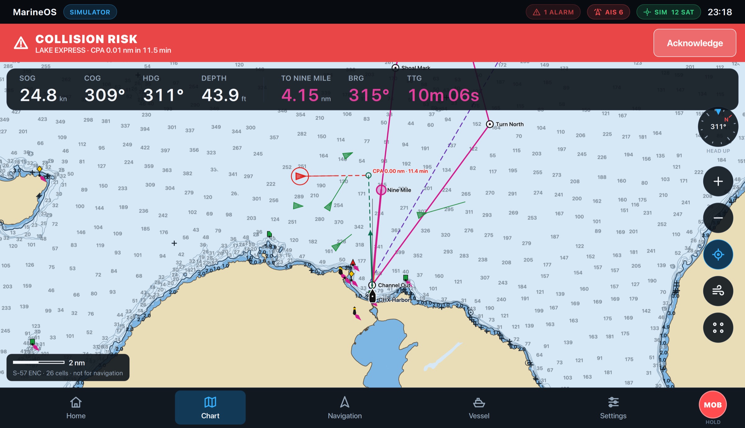
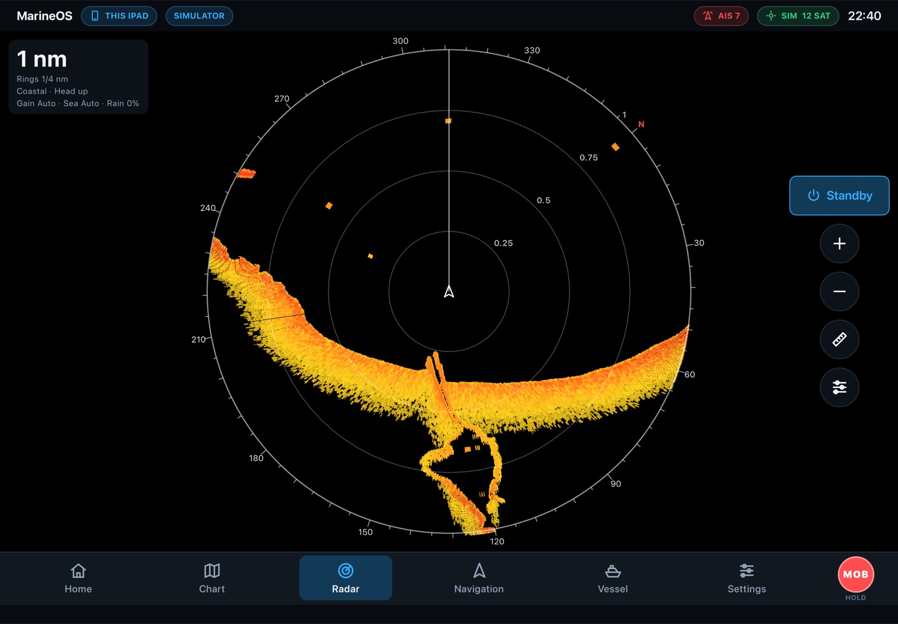
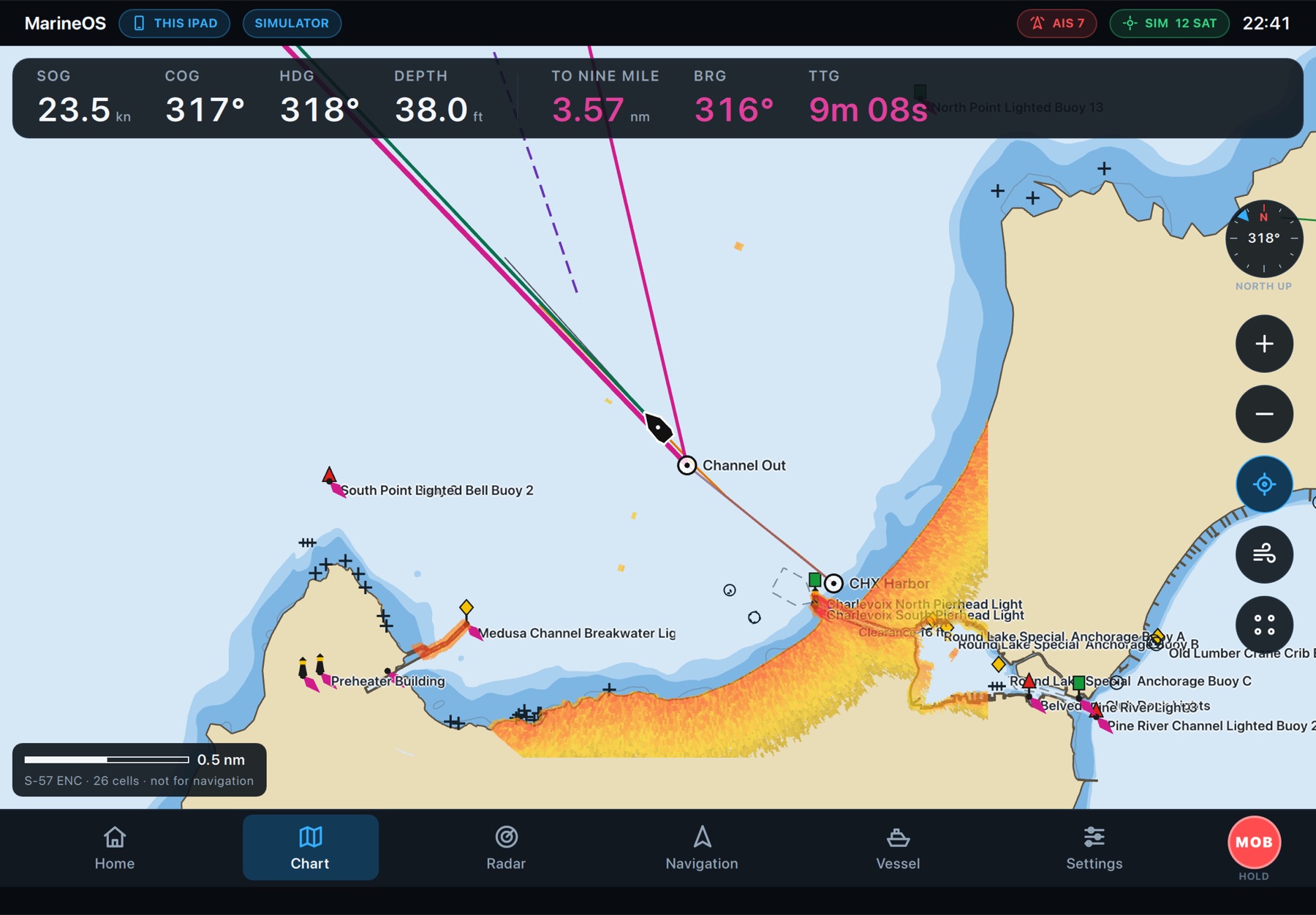
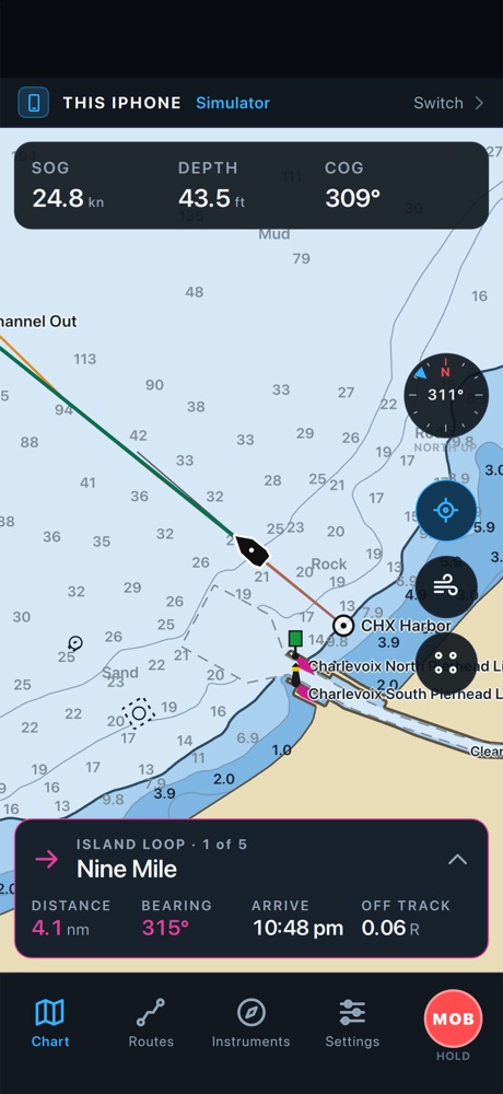
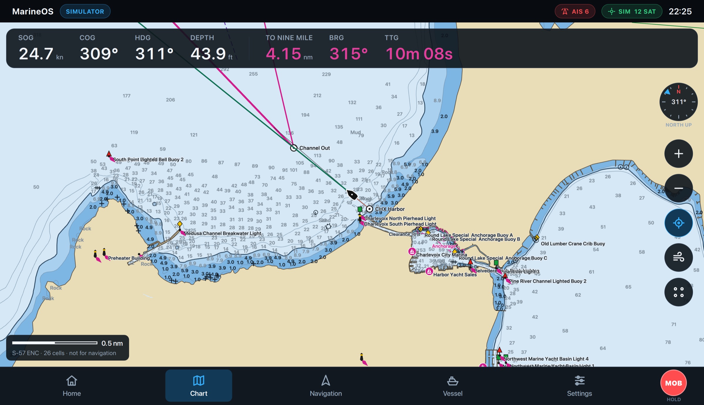
The route you planned is on the helm display when you step aboard. NOAA charts, your position and course, the next mark, AIS traffic and alarms: everything a skipper needs at a glance, on a display that works with no signal at all.
- NOAA ENC and inland charts on board
- Distance, bearing and time to the next mark
- AIS, collision, shallow-water and off-course alarms
Your boat, in your pocket.
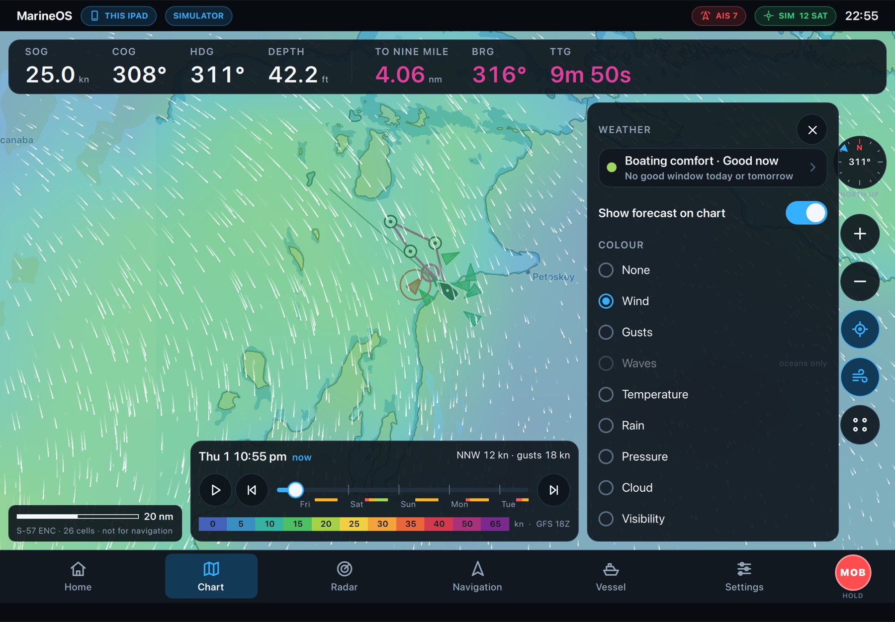
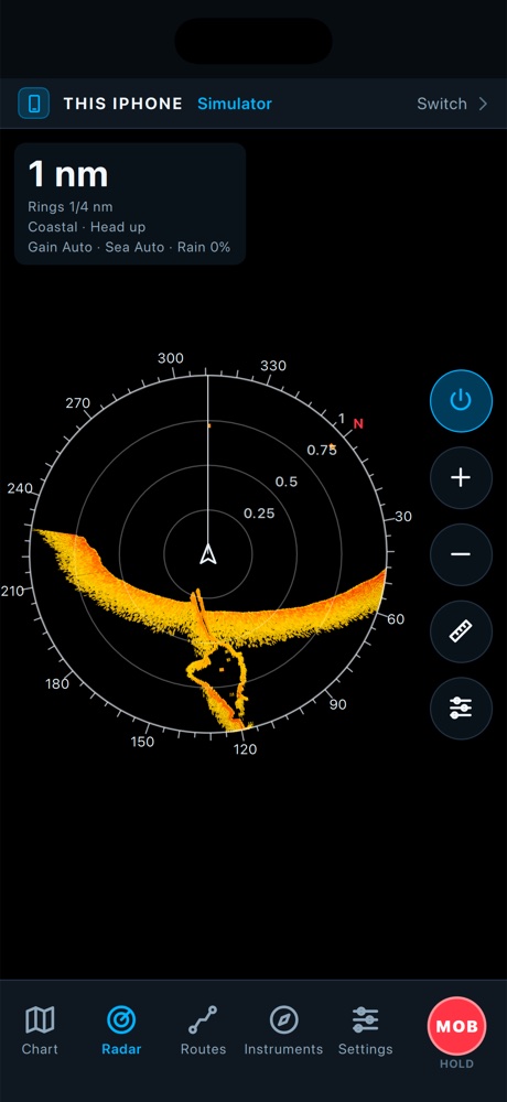
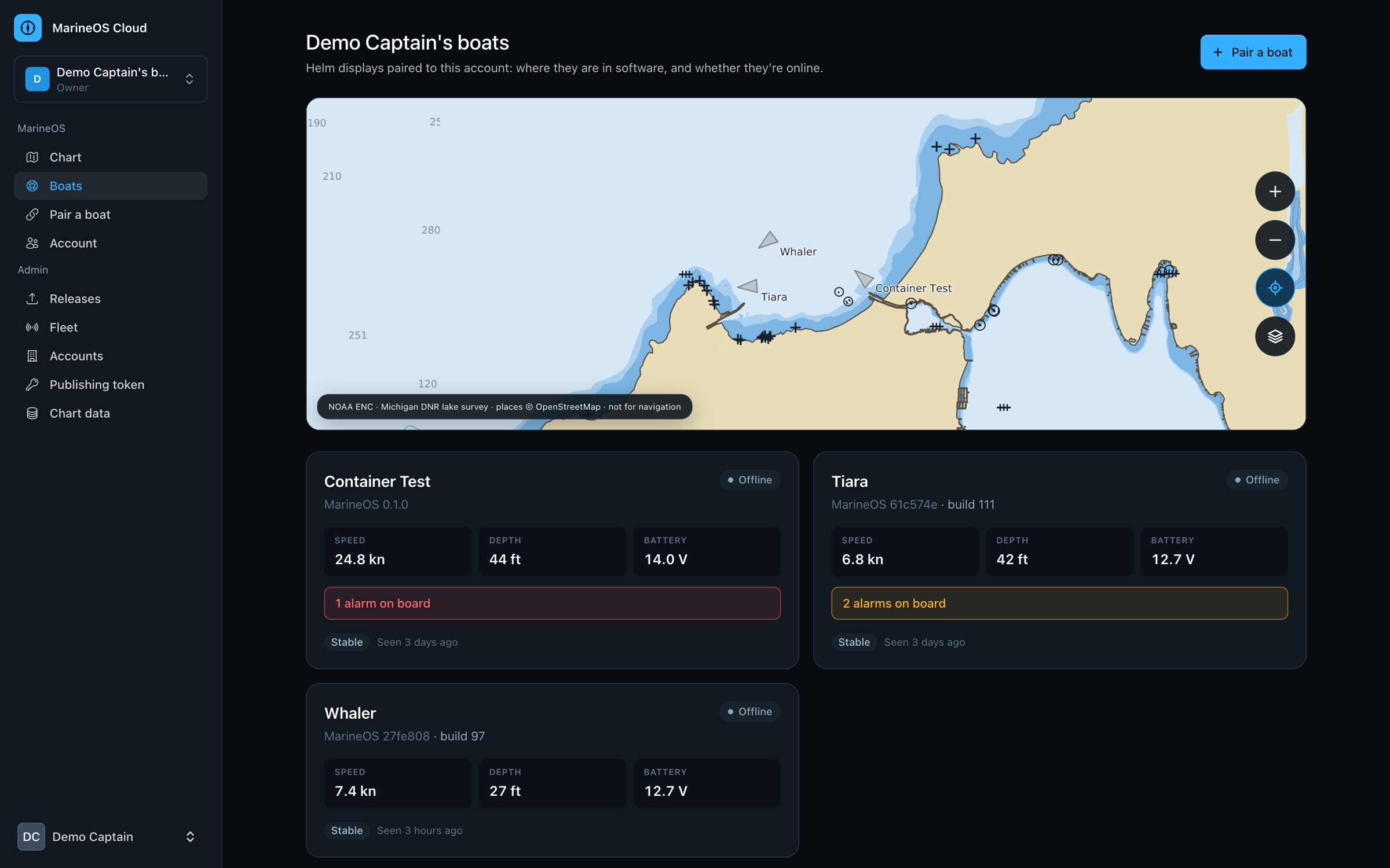
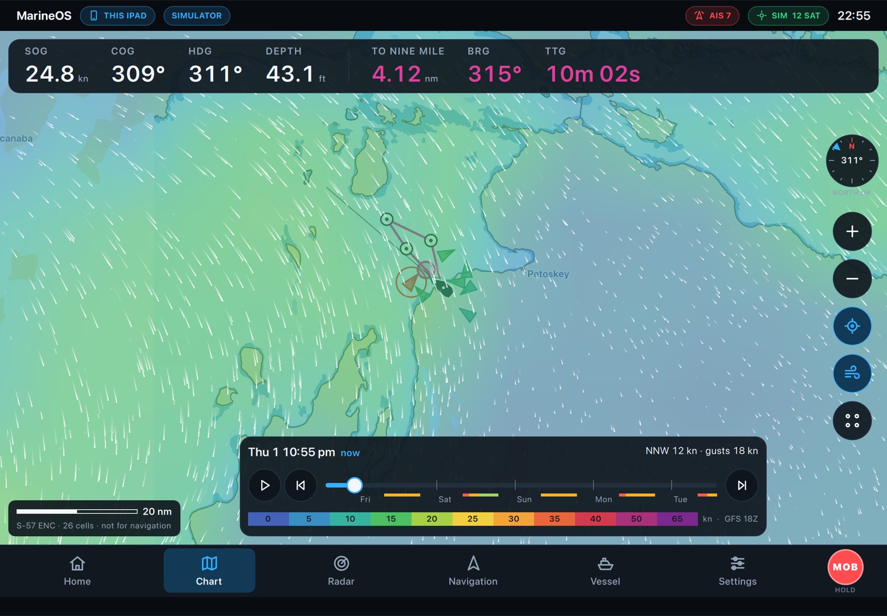
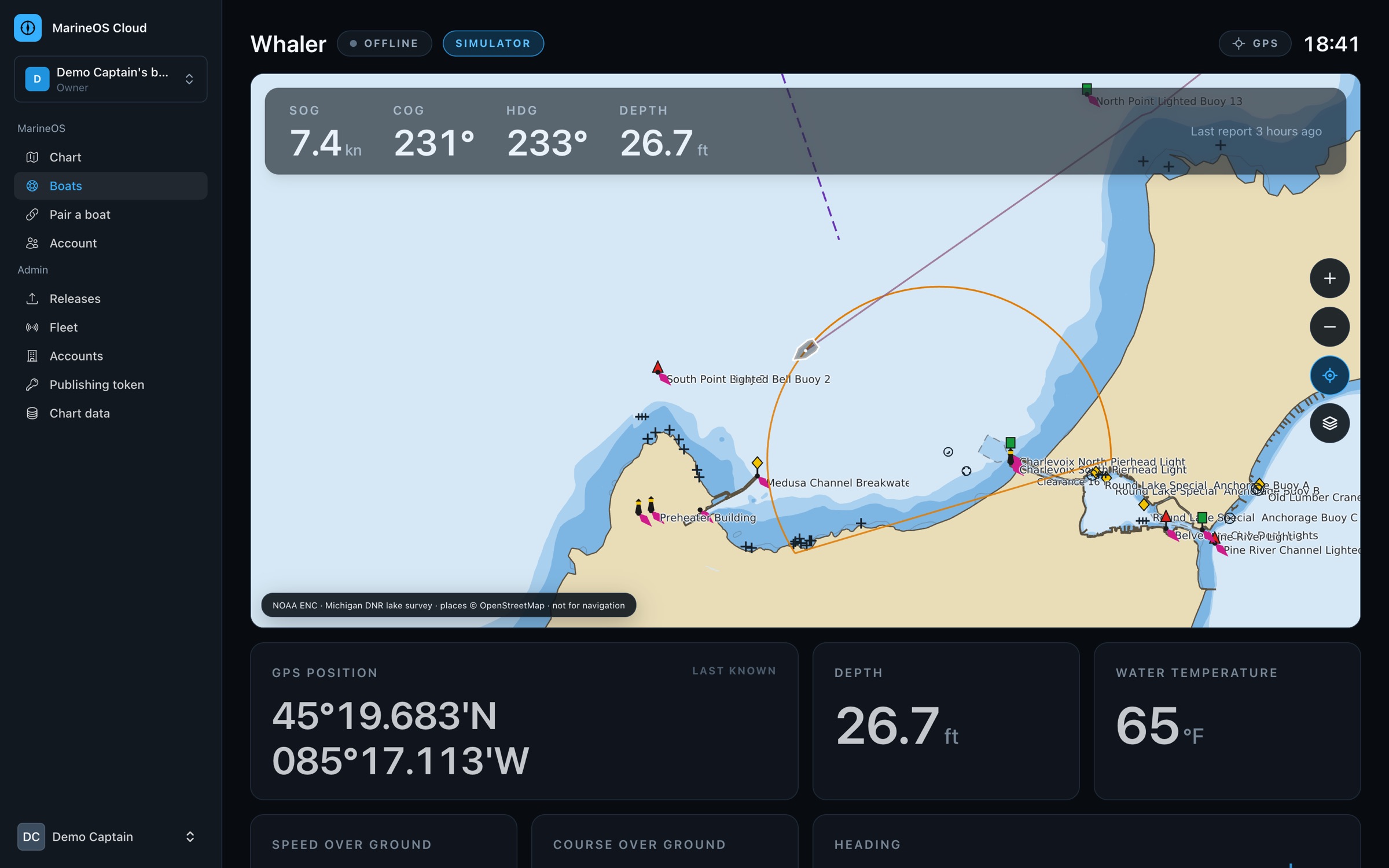
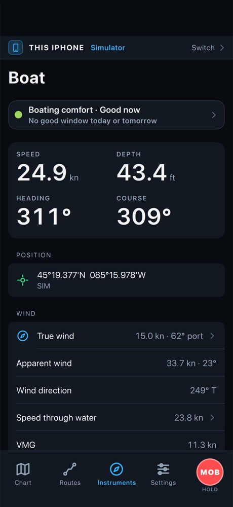
At the dock or across the country, MarineOS shows where your boat is and how it's doing: speed, depth, engines, battery, alarms and anchor watch, live on your iPhone and in the Cloud. And a forecast that tells you when it's good to go.
- Live position, readings and alarms
- Anchor watch from shore
- Boating comfort from the weather forecast
Engines, fuel and power, understood.
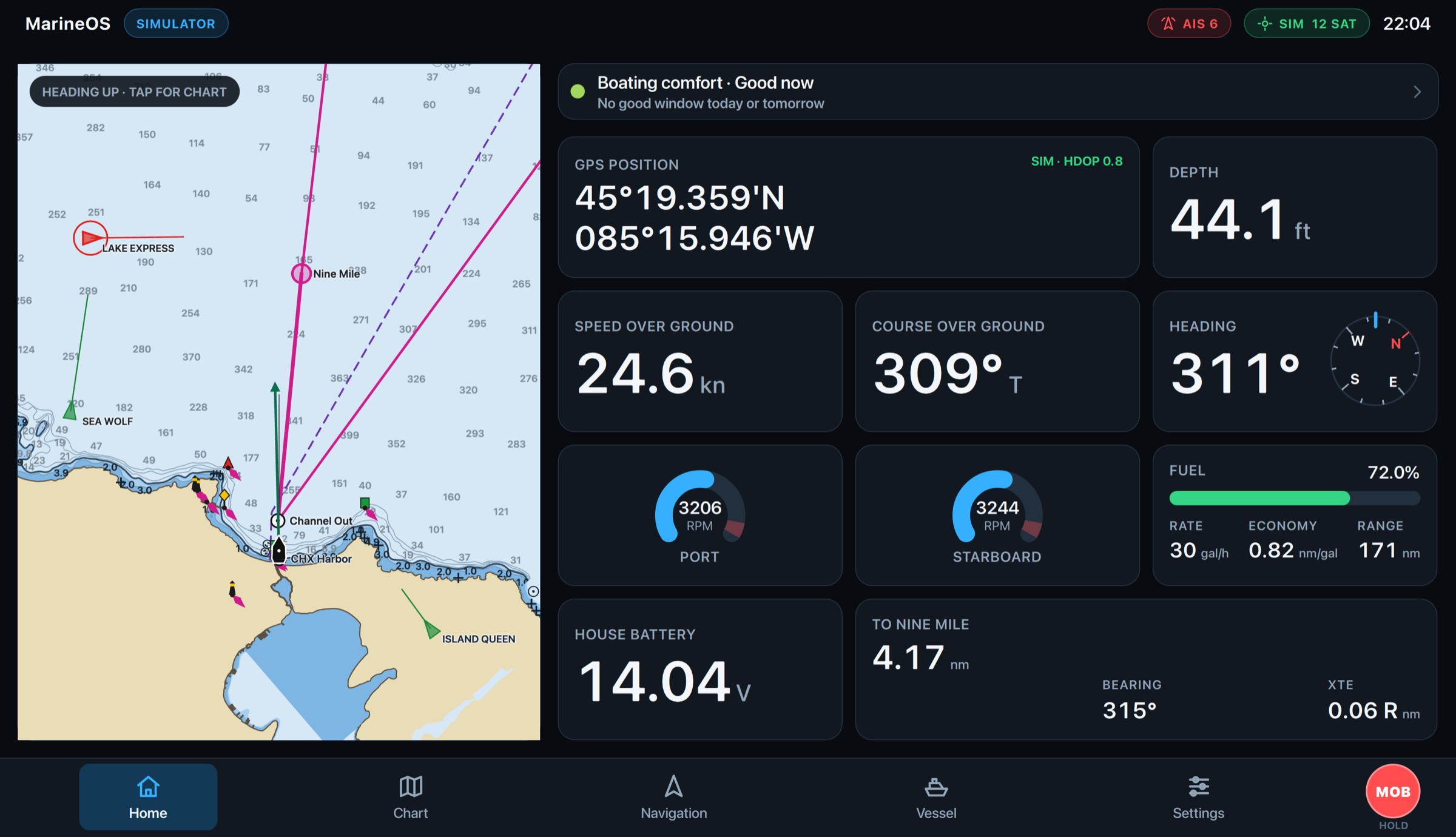
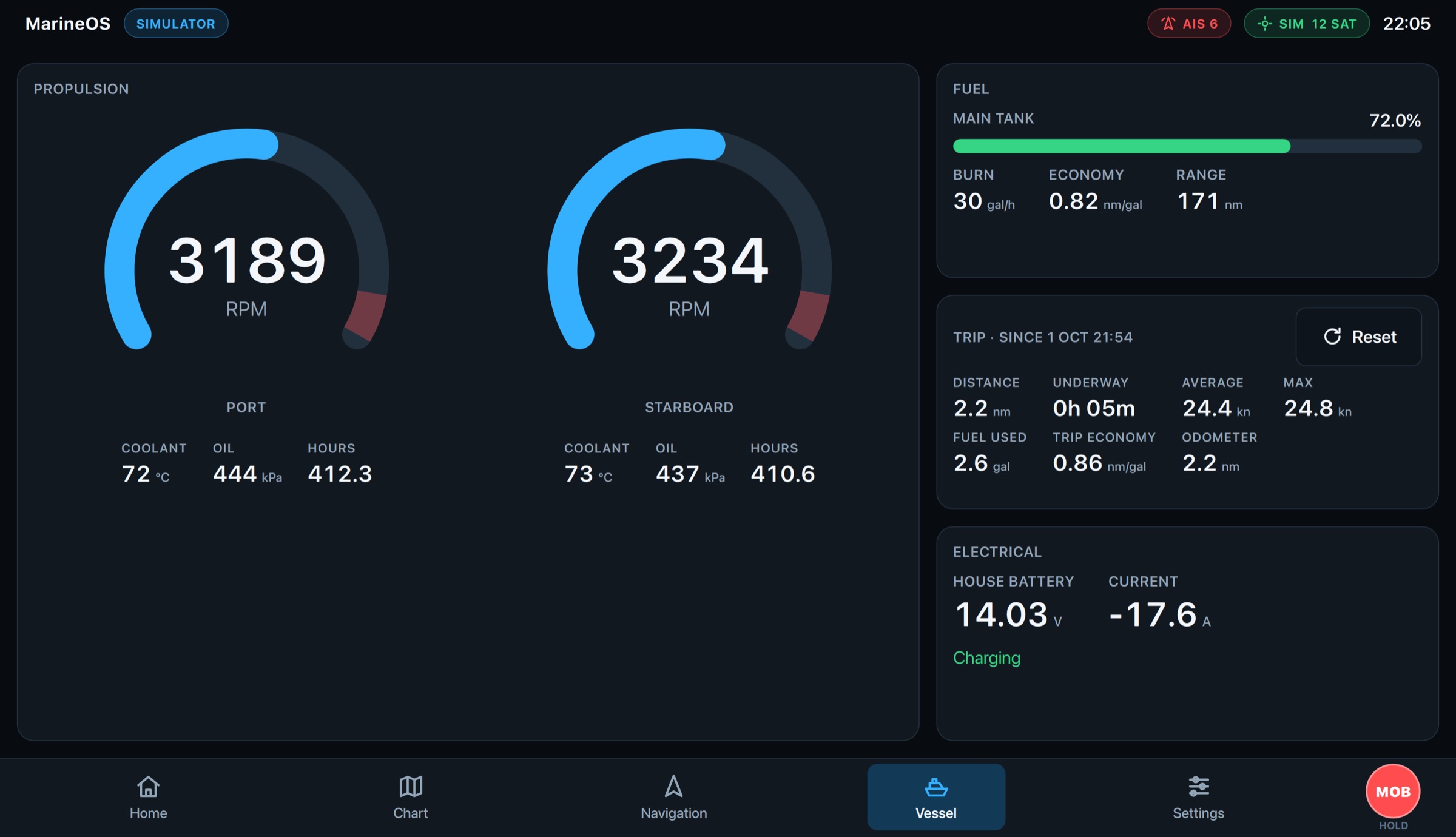
Engine RPM, coolant and oil pressure, hours on each engine, fuel burn, economy and range, battery and charging, and a trip log of every outing. MarineOS reads your boat's NMEA 2000 network and shows it all in one place.
- Twin engines, hours and temperatures
- Fuel economy and range as you go
- Maintenance from engine hours: coming soon
Change it anywhere. It's everywhere.
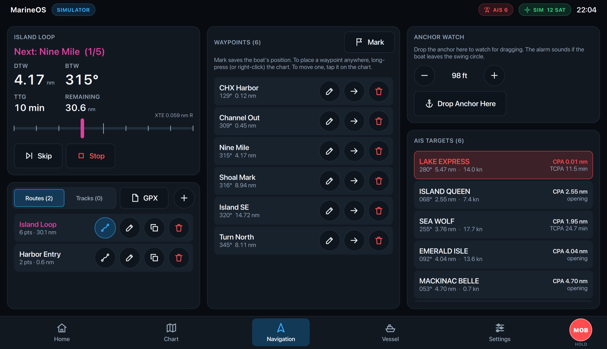
Routes, waypoints and tracks follow you between the helm, your phone, your tablet and the Cloud. Edit a route on the iPad and the helm display has it in moments; mark a fishing spot at sea and it's in your browser at home.
- Routes, waypoints and tracks in sync
- Works offline, catches up when connected
- GPX in and out